Tsunamis and rogue waves in the Belgian North Sea
At the request of the department of Economy, Science and Innovation of the Flemish government, the Flanders Marine Institute (VLIZ) investigated the risk of tsunamis and rogue waves in the southern North Sea. The findings have been compiled into a policy-informing brief. Eight wave types have been studied: six kinds of tsunamis, rogue waves and infragravity waves.
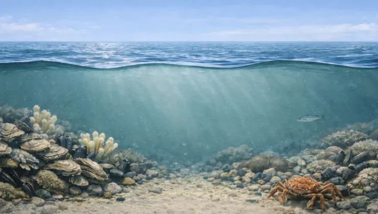
Tsunamis
Tsunamis can be classified on the basis of their source mechanisms. They can be caused by earthquakes, landslides, volcanic activity, atmospheric pressure changes (meteotsunamis), asteroid impacts or a combination of such factors.
The risk of destructive tsunamis occurring near the Belgian coast is considered (very) low. This is partly due to the buffering effect of the English Channel in the south and the shallow North Sea in the north.
Although 80% of the tsunamis registered worldwide are seismic in origin, the southern North Sea coast appears to be most vulnerable to meteotsunamis. They are usually only a few centimetres tall.
However, the amplitude of such tsunamis can significantly increase locally near coastal areas. This was the case in the Dutch coastal town of Katwijk (+2m) on 29 May 2017, and in Ostend in 1767 (+1.5m) for instance.
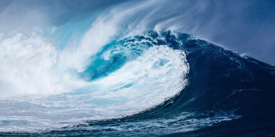
Rogue waves
Rogue waves occur relatively frequently in the southern North Sea (one in every 5,000 to 8,000 waves). Despite their high amplitude, they do not constitute an immediate risk to the hinterland thanks to their short period.
Contrary to tsunamis, the biggest risks are on the open sea. Although this wave type has already caused damage to offshore constructions in the North Sea, no damage has so far been reported in the Belgian part of the North Sea.
Infragravity waves
IG waves are a type of surface waves with a long period and low amplitude; they play an important part in the regulation of coastal processes. The effect of these waves on beach erosion, wave overtopping and, consequently, inherent flood risks is not yet completely clear.

UNESCO/IOC Sea Level Station Monitoring Network
Tsunami warning systems rely on the worldwide network of tide gauges. Within this scope, the Flanders Marine Institute (VLIZ) in Ostend manages the Sea Level Station Monitoring Facility (SLSMF). This webservice makes it possible to monitor sea levels around the world.
The online platform provides detailed information about more than 1,000 connected stations across all continents. Users can directly consult the tide gauges in real time and download the data. These data are crucial for the operation of warning systems which help protect human lives against tsunamis in coastal areas.
By coupling a larger number of stations and tide gauges, and by sharing information via the SLSMF network, models can predict with increased accuracy where a tsunami will impact the coast. The system also helps tsunami warning centres to assess the response time when organising a possible evacuation.
Further information
Would you like to learn more about this fascinating topic, or do you have any questions? Then feel free to contact VLIZ.