Survey about the use of spatial data and space systems
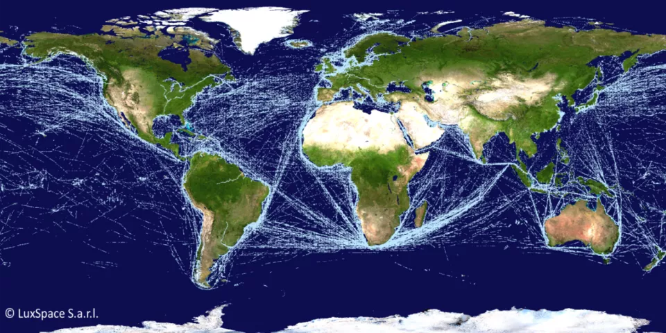
In Europe, the blue economy accounts for approximately 5.4 million jobs and a gross added value of almost €500 billion per year. It thus makes sense that the ESA has been dedicating a number of initiatives to the seas and oceans for years. For instance, a Blue Worlds Task Force (BWTF) was created, in which all interested ESA member states are represented.
A survey is currently ongoing as part of the BWTF activities to find out how spatial data and space systems are currently used and to identify the key challenges confronting the maritime community. New actions will be defined on the basis of the results.
Target audience
The ESA aims to reach the broad maritime community through the survey. This not only includes marine and maritime companies working around energy, food and logistics, but also port authorities, research institutions, public services and regulatory bodies.
Practical information
The survey is in English and consists of thirty questions. You can complete it until the end of February
Do you have any questions about the survey? Please contact Jean-Christophe Schyns (BELSPO) or Piero Messina (ESA).